Case 01 · Landmark
Muiderslot, Muiden
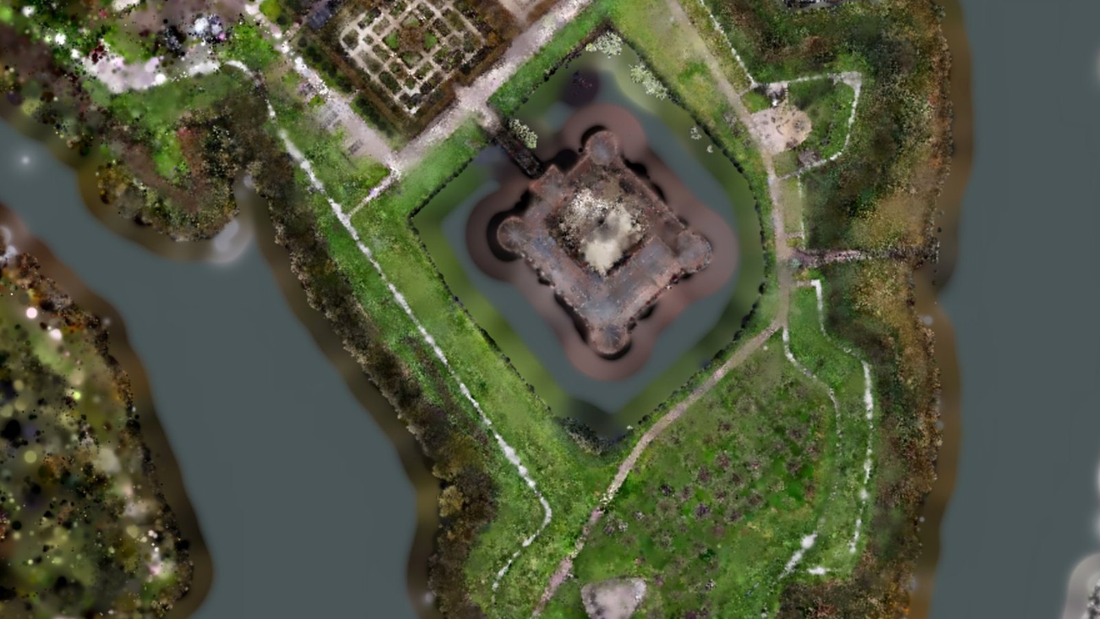
The 13th-century castle with its moat, castle garden and harbour, from one flight. Fly to the garden or along the rampart, or start the guided tour.
1 flightGuided tourAnimated water
Explore the castle in 3D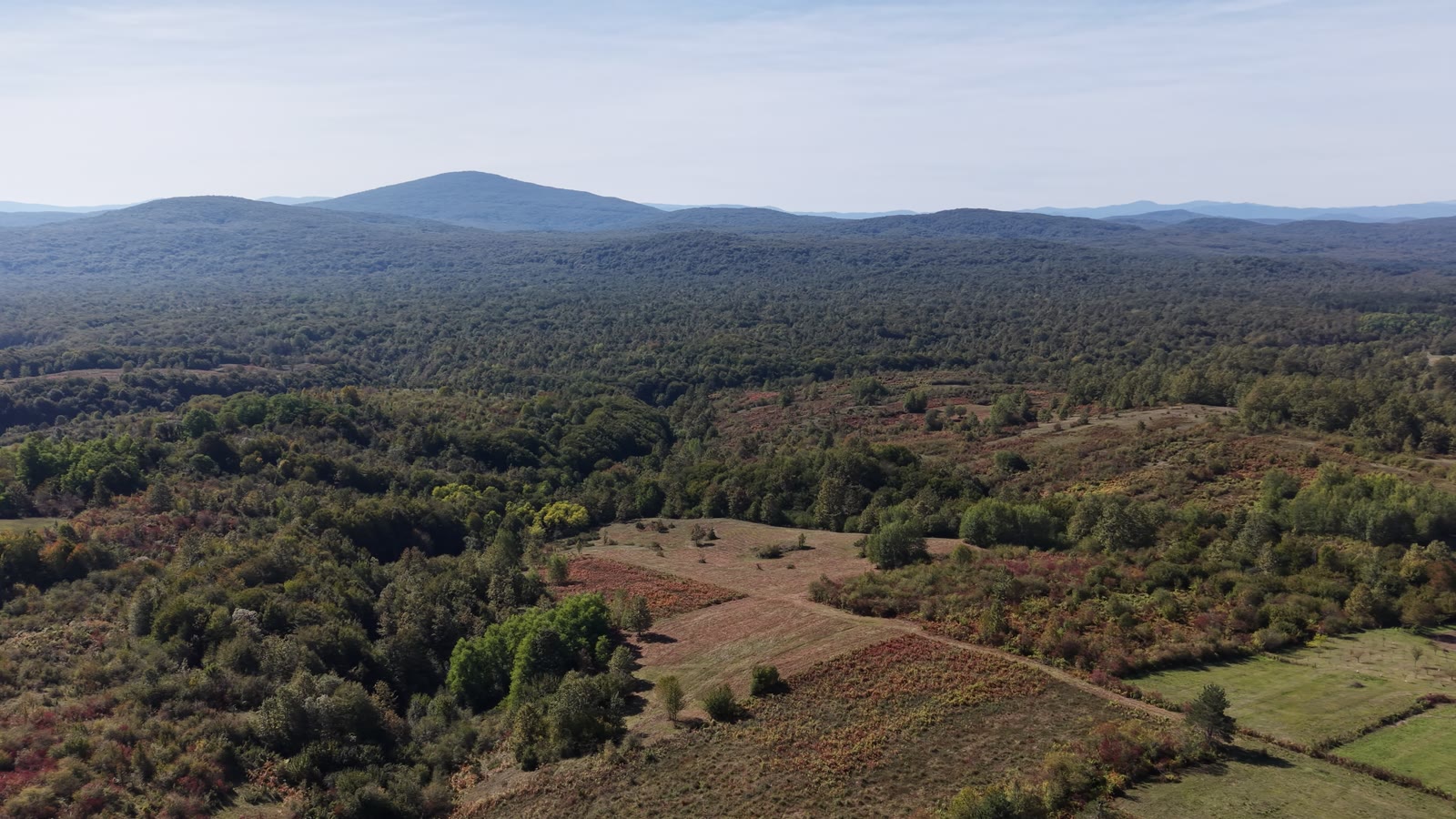
Drone video · Muiderslot, Muiden
Muiderslot · drone video
One drone flight gives you cinematic video and a 3D model anyone can explore. Scroll to see both.
Scroll
Live sample
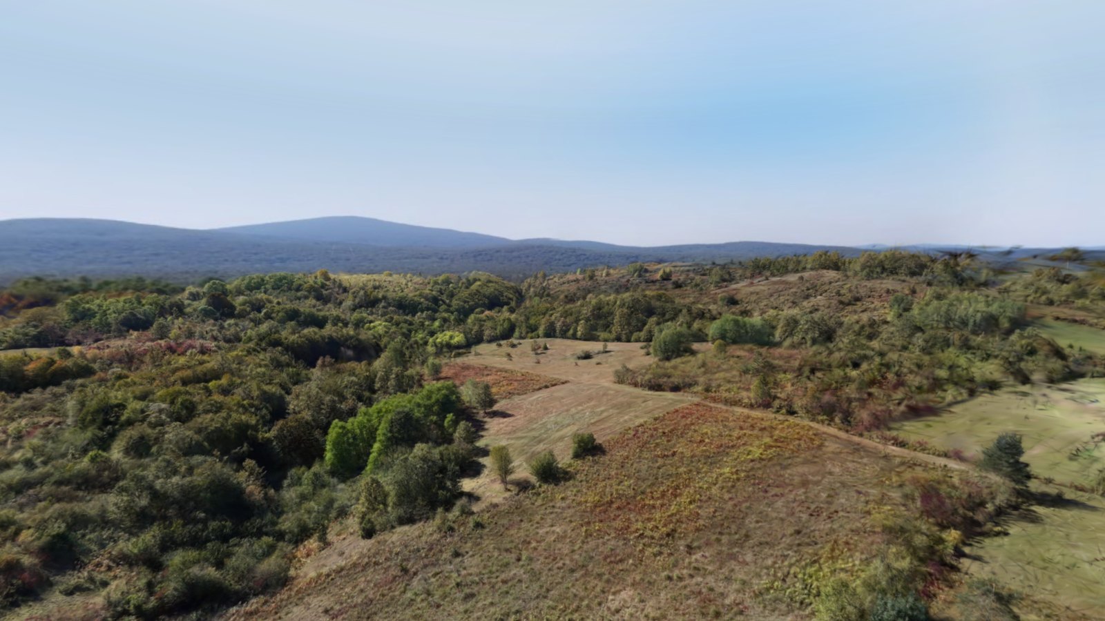
This plot was scanned in one drone flight. Walk with W A S D, look around with your mouse, press F to fly. On a phone, use the joystick. The distant valley is a photo panorama from the same flight.
Sample scans
Two Dutch landmarks, a Beemster farm and a plot in Croatia. Open one, fly to the points of interest or take the guided tour, on a laptop or a phone.
Case 01 · Landmark
The 13th-century castle with its moat, castle garden and harbour, from one flight. Fly to the garden or along the rampart, or start the guided tour.
1 flightGuided tourAnimated water
Explore the castle in 3D
Case 02 · Town
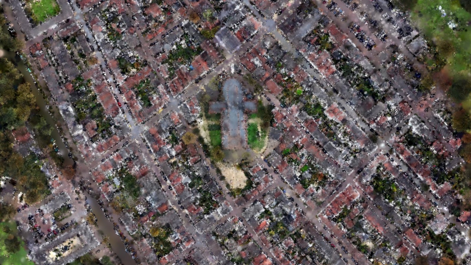
The heart of the star-shaped fortress town: the Great Church, the streets and the moat. Detail loads where you look, so even a whole town stays sharp.
1 flightWhole townSharp where you look
Explore Naarden in 3D
Case 03 · Property
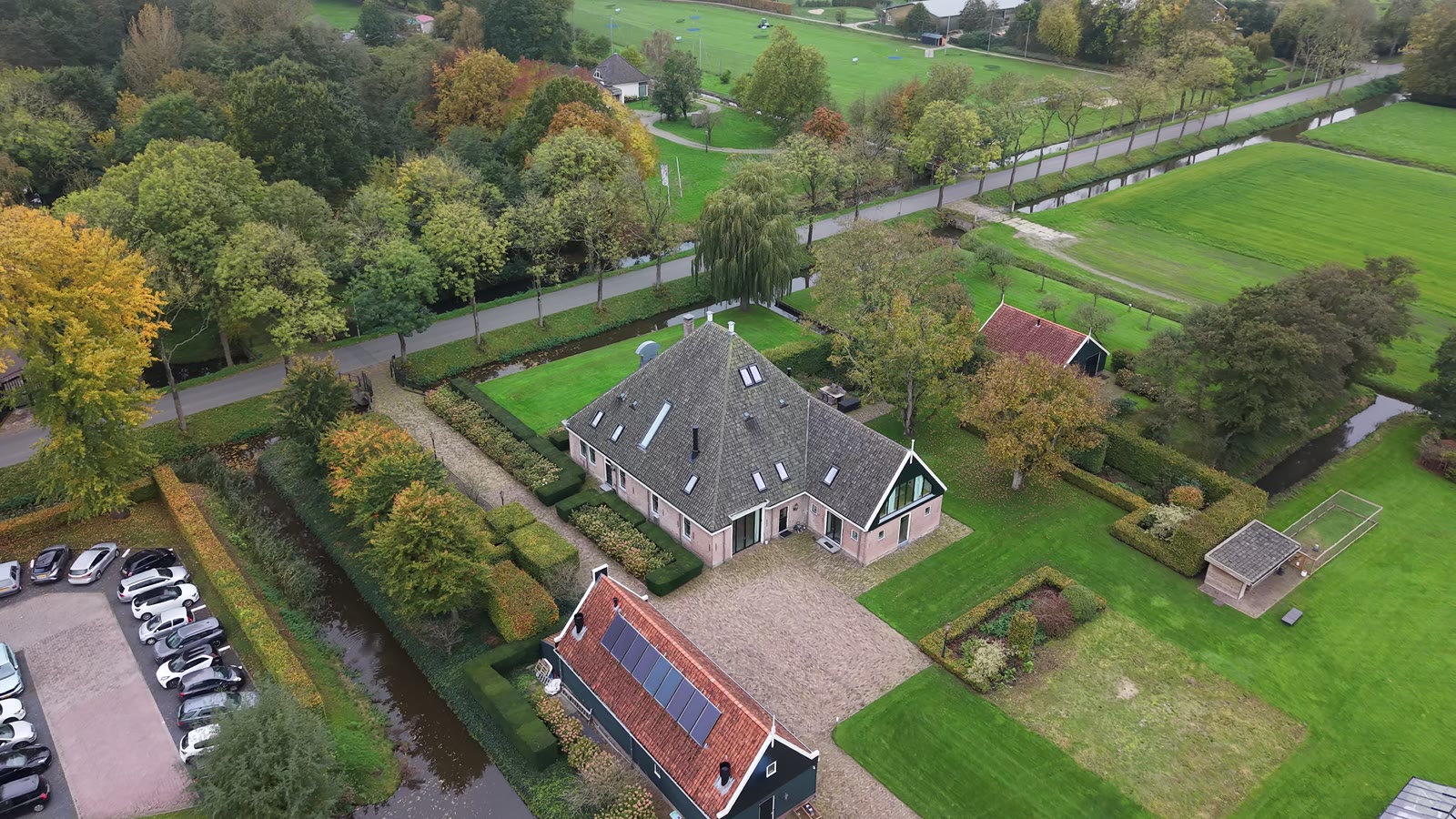
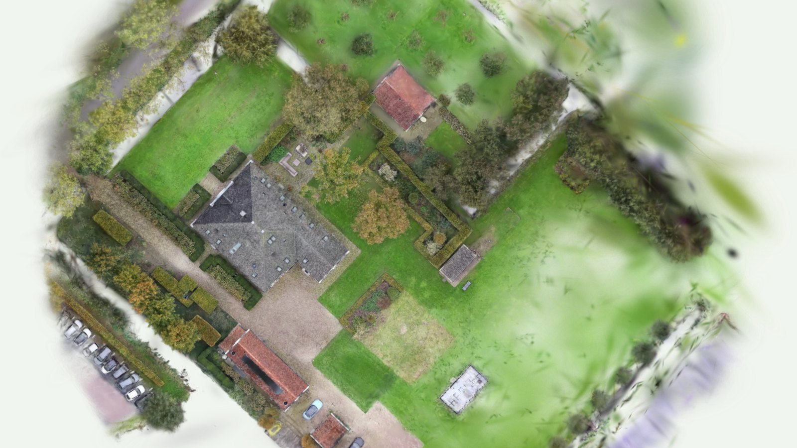
A Beemster farm: farmhouse, outbuilding, garden and yard. What a buyer or an architect gets: the whole plot to turn and inspect.
Same flightWhole plotGuided tour
Explore the farm in 3D
Case 04 · Land
A plot with scattered trees on a hillside. Buyers abroad check the slope, the road and the view over the valley before they book a flight to see it.
1 flightHillside plotValley view
Explore the plot in 3DWho it's for
Photos show one angle. A 3D twin lets people look at the whole site the way they would on foot, from a chair at home.
See the slope, the access road, the neighbours and the tree line before you book a flight to view it. Ideal for expats and anyone buying from abroad.
Give buyers a listing they can explore. Agents share one link that works on every phone.
A current overview of fields, ditches, fences, roofs and outbuildings, with areas you can measure yourself.
Real site context before the first sketch: levels, existing trees, sightlines and what the neighbours can see.
Scan monthly and compare. Clients and investors follow the build without driving to site.
A 3D tour for your website that shows the whole grounds, and a dated record of the site's condition for insurance.
How it works
Location, rough size and what you need it for. You get a fixed price, usually the same day.
Every address is checked against the official drone maps. You only pay for flights we can legally make.
20 to 60 minutes on site, in planned orbits and grids. You don't need to be there.
A private 3D link, a flythrough video and aerial photos within 3 to 5 working days.
What you get
A video shows the route the pilot chose. A Gaussian splat lets every viewer choose their own. It is built from thousands of drone frames on a dedicated GPU workstation, so grass, water, leaves and roof tiles look the way they do in real life.
Pricing
All prices include 21% VAT. The first 40 km of travel are included.
Up to 0.5 ha · ~1.2 acres
€475incl. VAT
Up to 1 ha · ~2.5 acres
€839incl. VAT
1–5 ha · farms, campsites, building sites
€1,499from, incl. VAT
For estate agents · listings from €500k
A 60–90 second edited 4K flythrough and 15 aerial photos, ready for Funda and social media within 48 hours. Want buyers to walk the grounds themselves? House & Garden adds the 3D twin for €126 more.
Buying from abroad · Remote Viewing
We visit the house for you: drone video, a walkable 3D scan of house and plot (inside with the seller's consent), a flyover of the neighbourhood, and a 30-minute live video call so you can ask questions while we're there. Written notes in English within 72 hours. Buyer and seller can split the fee 50/50.
Launch offer: 30% off for the first 5 bookings. In return we may show your scan (or a part of it you approve) as an example on this site.
Claim a launch spot| Add-on | What it is | Price |
|---|---|---|
| AI land report | PDF with measured areas and distances, tree and building inventory, drainage and access notes | €179 |
| Raw 3D files | .ply and .sog splat files plus the source video, for Blender, Unreal or your own viewer | €115 |
| Extra year of hosting | Keep the 3D link online for another 12 months | €59 |
| Repeat scan | Same site, same flight plan, for before/after or progress tracking | −40% |
| Travel beyond 40 km | Per km, return trip | €0.42 |
Business client? Prices excl. VAT: drone video €288.43, House & Garden €392.56, Land & Plot €693.39, Estate from €1,238.84, Remote Viewing €657.02. Measurements are indicative (within a few percent) and do not replace a cadastral or legal boundary survey.
Questions
A Gaussian splat is a 3D model made from thousands of drone video frames. Instead of flat textures it stores millions of tiny coloured points, so trees, grass, water and roofs look photorealistic from every angle. You open it in a browser and move around freely.
No. You get a private link that opens in Chrome, Safari or Edge on a phone, tablet, laptop or VR headset.
House & Garden up to 0.5 ha costs €475, Land & Plot up to 1 ha costs €839, and sites of 1–5 ha start at €1,499. Larger sites get a custom quote. Prices include 21% VAT. The first 40 km of travel are included.
The flight takes 20 to 60 minutes on site. You receive the 3D link, video and photos within 3 to 5 working days.
You can measure distances, areas and heights to within a few percent, which is fine for planning a garden, fence, extension or purchase decision. It is not a cadastral or legal boundary survey.
Throughout Noord-Holland, Flevoland and the rest of the Netherlands, wherever drones may fly. Every address is checked against the official airspace maps before your booking is confirmed.
We fly over your property only, as a registered EU drone operator. Neighbouring plots can be cropped or blurred out of the final model on request.
Rain and strong wind ruin a scan, so we move the flight to the next suitable day at no cost.
Get a quote
You get a fixed price and a proposed flight date, usually within one working day. Prefer to talk? Message or email directly:
hello@drone3dstudio.nl